
Parcel Maps for Land Investing: The Complete, No-Fluff Guide
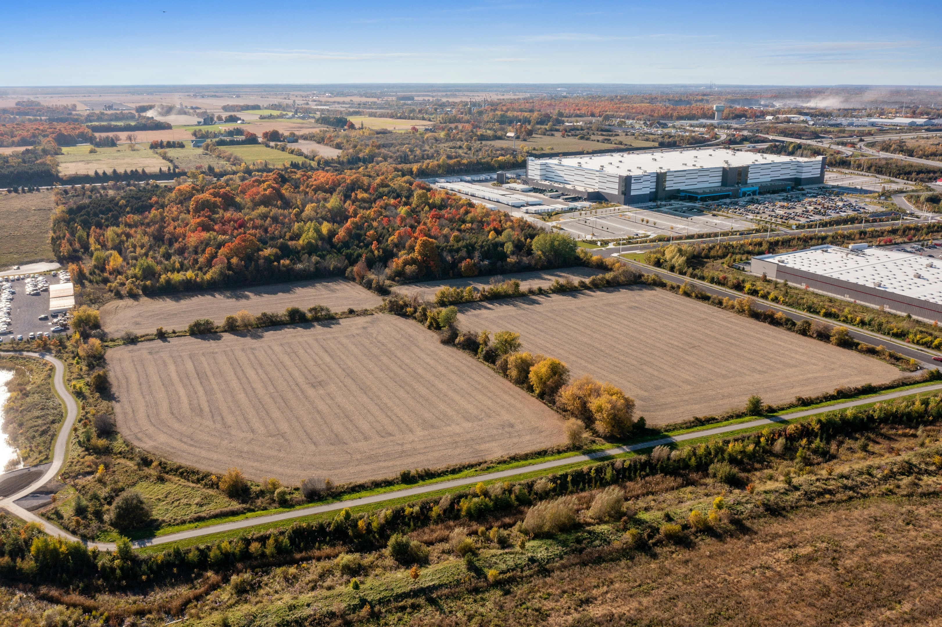
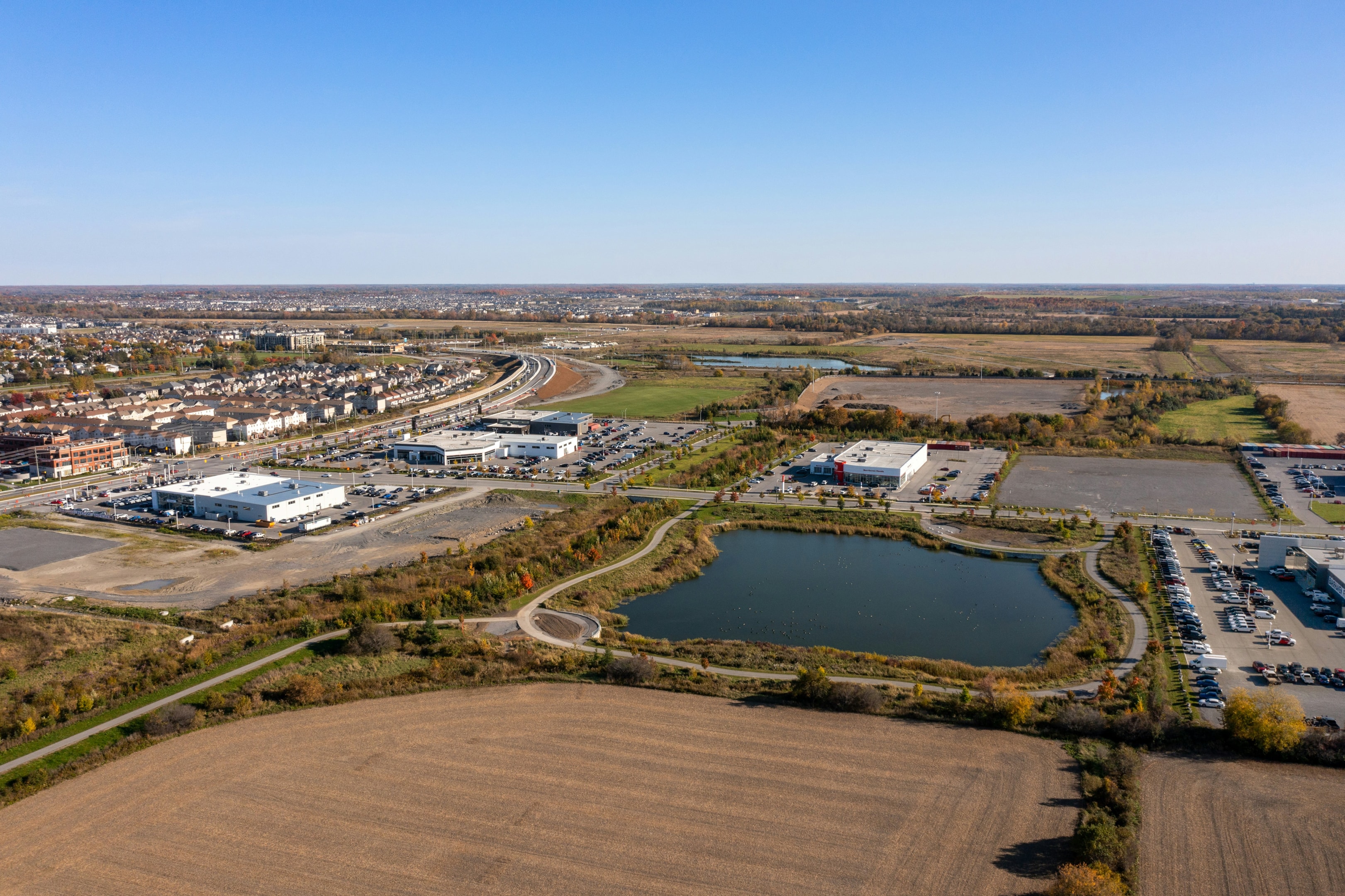
Parcel maps aren't just pretty visuals—they're the lifeblood of successful land investing. If you've ever tried to evaluate a piece of land without one, you know how confusing and risky it can be. With parcel maps, you can see the property's true boundaries, access points, zoning restrictions, and potential deal-breakers before spending a dime on inspections. In this expanded guide, we'll dive deeper into how to use parcel maps like a pro, because they are absolutely essential for spotting opportunities, avoiding costly mistakes, and maximizing profits.
What Is a Parcel Map? (And Why Investors Need It)
At its core, a parcel map is a digital or paper map showing property boundaries, ownership, and land data. Parcel maps provide access to crucial parcel details such as ownership, boundaries, and land characteristics, helping users analyze property information efficiently. But in the world of land investing, it's much more than that—it's your due diligence roadmap.
Parcel Map vs. Plat Map vs. Survey
Parcel Map: Used mainly for tax assessment, showing approximate boundaries. Great for broad-level research.
Plat maps: Essential tools for locating property corners and parcel boundaries, especially in subdivisions. They are recorded maps that show the division of land into lots.
Survey: The gold standard for accuracy. Commissioned when exact measurements are critical.
The GIS Factor
Most modern parcel maps are part of a GIS system. That means you can layer zoning, flood zones, topography, utilities, and other data right on top of the parcel boundary. Think of it like stacking transparency sheets to build a 360° view of a property.
Property Boundaries and Lines
Understanding property boundaries and lines is fundamental for anyone working with land, whether you're a seasoned investor, a real estate professional, or a landowner. Property boundaries define the exact limits of a parcel, helping you avoid disputes, identify access points, and evaluate development potential. With comprehensive parcel data, you can easily view detailed property boundaries, owner names, acreage, and land use—all critical for making informed decisions. Custom maps and GIS layers allow you to visualize these boundaries in relation to surrounding parcels, roads, and natural features, while advanced search filters make it easier to find properties that meet your criteria, whether you're looking for a certain acreage, specific land use, or unique boundary shapes. By leveraging these tools, you can quickly analyze and compare properties, spot new opportunities, and reduce the risk of costly mistakes. For real estate professionals and landowners alike, having easy access to accurate property boundaries is a game-changer in the search for the right land investment.
Key Data Points on a Parcel Map
When you pull up a parcel map, don't just glance at the outline. Zero in on these essentials:
APN/Parcel ID: The key that unlocks ownership, tax, and deed records.
Address: Quickly locate a property using its address, a key search parameter for parcel maps.
Acreage & Shape: A perfectly square 5-acre lot can be worth more than a skinny 5-acre strip.
Access: Is there road frontage or a deeded easement? Without it, your land may be useless.
Zoning & Overlays: These tell you what you can and can't do. From setbacks to conservation zones, small details change everything.
Date: Use sale date, transfer date, or year built to filter and analyze property transactions and history.

Where to Find Parcel Maps
County Assessor Websites
County assessor websites offer free parcel maps and property data, usually updated regularly. Some provide interactive GIS tools to view boundaries and ownership, though the quality varies—some are modern and user-friendly, while others can feel outdated.
State GIS Platforms
State GIS platforms provide centralized access to land-use, environmental, and infrastructure data layered with parcel boundaries. These portals help investors see important details like flood zones and soil types, making them valuable for thorough property analysis.
Commercial Tools
Paid platforms like LandVision, MapRight, or LandGlide combine nationwide coverage and mobile scouting tools. These commercial tools often come as an app, making property searches and boundary identification more helpful and user-friendly for investors.
Advanced Search Filters for Parcel Maps
Advanced search filters elevate parcel map analysis by allowing you to pinpoint exactly the properties you want from millions nationwide. You can filter by location, acreage, year built, owner name, flood zones, elevation, land use, and more. These filters save real estate professionals and investors time by narrowing vast datasets to relevant parcels. After finding target properties, you can create custom maps displaying boundaries and key data points to compare options and share with clients or teams. Whether prospecting or conducting due diligence, advanced search filters are essential for smarter, faster land investing decisions.
Step-by-Step: How to Read a Parcel Map
Verify the APN and shape with deed records.
Check legal access. A road nearby isn't enough—it must be recorded.
Overlay zoning, slope, floodplains, and wetlands.
Identify buildable areas. Look for flat, dry, accessible portions.
Validate utilities. Distance to power, water, or sewer can make or break your numbers.
Parcel maps are invaluable in the field, as you can use a pin on digital maps to mark property corners or important features during site visits.

Using Parcel Maps for Due Diligence
Prospecting: Narrow searches with filters like acreage, zoning, and slope.
Title Checks: Compare parcel boundaries with deed descriptions to catch discrepancies.
Valuation: Overlay comps and analyze value per usable acre.
Track properties of interest to receive updates and ensure you don't miss critical changes during your due diligence process.
Identifying Opportunities and Risks with Parcel Maps
Parcel maps are more than just a way to view property lines—they're a strategic tool for uncovering both opportunities and risks in land investing. By analyzing comprehensive parcel data, you can assess a property's potential uses, estimate its value, and spot red flags like flood zones or environmental hazards before you commit. With access to information on neighboring properties, land use, and zoning regulations, real estate professionals and investors can quickly identify undervalued parcels, prime development sites, or properties with strong income potential. Advanced search filters help you target properties that fit your investment criteria, while map layers reveal critical details about access, topography, and risk factors. By leveraging parcel maps and data, you can make more informed decisions, minimize surprises, and maximize your chances of success in any market.
Advanced Layers for Smarter Investing
Topography: Spot potential building pads or driveway challenges.
Soils & Hydrology: Know if the land perks for septic or if drainage is a problem.
Risk Overlays: Fire zones, habitat restrictions, or cultural resource sites can delay or derail projects.
Common Parcel Map Mistakes to Avoid
Common parcel map mistakes to avoid include assuming that a road merely touching a property equates to legal access, which it does not. Many investors mistakenly take fences as accurate property lines, leading to potential boundary disputes. Additionally, relying on outdated GIS boundaries without obtaining a professional survey can result in inaccurate property information and costly errors. Being aware of these pitfalls ensures more reliable analysis and better decision-making in land investing.
Lead Generation with Parcel Maps
Skip-tracing by APN allows you to pull ownership data and then trace phone numbers or emails for direct outreach. You can target mail campaigns by exporting APN lists from high-potential zones and sending personalized mailers. Additionally, downloading mailing lists or parcel data in formats like CSV or PNG helps streamline your outreach and marketing efforts.
Parcel Maps in Marketing
Maps aren't just for analysis—they sell land too. Including interactive photos or 360° panoramas allows buyers to virtually explore the property, zoom in, and move around to get a better understanding of different areas. Add clean parcel overlays, driveway approaches, and utility notes to your listings. You can also embed parcel maps or photos directly into your website or online listings to enhance engagement and accessibility. Buyers love certainty, and a visual beats a paragraph of description every time.
Role of Real Estate Professionals in Parcel Map Analysis
Real estate professionals are invaluable when it comes to interpreting and leveraging parcel data for land investing, as their expertise in analyzing property boundaries, zoning regulations, and land use helps clients see the full picture of a property's potential. By using parcel maps, advanced search filters, and custom maps, they uncover hidden opportunities and flag potential risks that might otherwise go unnoticed. They create tailored maps and reports that visually showcase property boundaries, access points, and relevant data layers, making complex information easy for clients to understand. In a competitive market, their ability to quickly search, analyze, and present parcel data gives clients a distinct advantage. Whether you're buying, selling, or developing land, partnering with a knowledgeable real estate professional ensures you're making decisions based on the most accurate and comprehensive information available.
Your Parcel Map Tech Stack
For solo investors:
Free county GIS portals
One solid commercial mapping tool
FEMA flood + USGS topo layers
A reliable program for managing property data and mapping to streamline your workflow
For teams:
SOP checklists for due diligence
Shared map styles (Prospecting, Analysis, Marketing)
Centralized CRM with APN-linked data
Whether you're working solo or as part of a team, upgrading your mapping tools and adopting industry-standard solutions will help you stay at the forefront of the land investing industry.
Creating a Land Investing Plan
A successful land investing plan starts with a deep dive into comprehensive parcel data and a clear understanding of your financial goals. By researching properties using owner names, acreage, land use, and more, you can identify the best opportunities aligned with your investment strategy. Advanced search filters and custom maps simplify the analysis of multiple properties, allowing you to compare locations and assess potential risks such as zoning restrictions or environmental hazards. Real estate professionals play a crucial role in interpreting this data and helping create a tailored plan, whether your focus is long-term appreciation, development potential, or immediate cash flow. Considering factors like market trends, access, and local regulations ensures a balanced approach that manages opportunity and risk. Equipped with the right tools and expert support, you'll be prepared to navigate the complexities of land investing and achieve your financial objectives.
From First Map to Closing: Checklist
Identify and confirm the parcel.
Overlay zoning, slope, floodplain.
Verify recorded access.
Check utilities.
Pull comps and value by buildable acres.
Price with contingency cushions.
Conclusion
Parcel maps are more than lines on a screen—they're the investor's secret weapon. From finding deals to negotiating price to marketing property, they give you the clarity you need to make smarter, faster, and more profitable decisions. These maps provide detailed insights into property boundaries, ownership, zoning, and access, helping you avoid costly mistakes and uncover hidden opportunities. Ignoring them means risking surprises that can derail your investment, but mastering parcel maps will unlock hidden value in every market and give you a competitive edge in the land investing world.